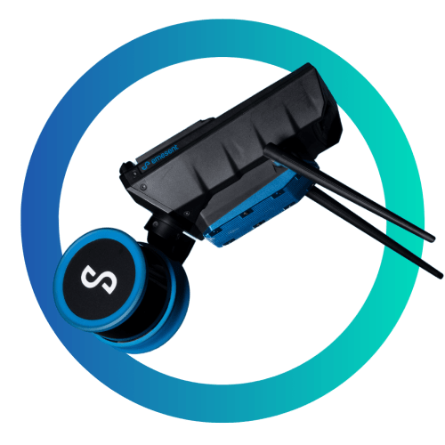
Emesent – Hovermap ST-X
This product has been discontinued. Our recommended replacements: Zenmuse L2

Hovermap ST-X Scan Range
With a LiDAR sensing range of 300 m (984 ft), the Hovermap ST-X allows you to fly higher and faster to expand your transect coverage and provide faster data acquisition over larger areas. As a result, fewer flights are required to cover an area, reducing the time spent setting up, packing, moving, and merging scans.
Vegetation Penetration
Triple returns and a rotating LiDAR (not statically mounted) make the Hovermap ST-X perfect for scanning terrain or forests. The resulting point cloud is dense, making it easy to classify scanned objects.

Real-Time Point Cloud
Hovermap ST-X streams a point cloud map directly to your control tablet to display a real-time data preview as you capture it. The addition of Emesent’s Long-Range Radio accessory enables live streaming and control of the device from up to 20x further, allowing you to view real-time data and set waypoints for guided exploration from an even greater distance.

Survey Grade Scans
In addition to improving accuracy for common mapping tasks, Hovermap ST-X with ground control points can create survey-grade scans for long, linear assets, large and feature-poor environments previously challenging for other SLAM-based systems.

Durability & Adaptablity
The robust, weatherproof Hovermap ST-X is dust and splash-resistant, making it ideal for use in dusty or harsh environments. Expand your options with accessory ports and mounting points, and add long-range radio, colorization hardware, or an inspection camera.
Benefits of Hovermap ST-X Slam-based LiDAR system.
Collapse According Hovermap Why
Data Collection Speed
Uniquely Versatile
Sub-Centimeter Indoor Scans
Autonomous Capabilities
Specifications
Hovermap ST-X Collapse Specs Accordion
Autonomy
| Autonomy | ||
|---|---|---|
| Tap-To-Fly & Guided Exploration | Waypoint setting in a real-time 3D map & autonomous path planning. | |
| Collision Avoidance | LiDAR omnidirectional range of 1.2 to 40m (3.9 to 131ft), Size of an obstacle > 2 mm wire (3/32 in) In-Flight adjustable safety distance. | |
| Intelligent Return To Home | Autonomous return-to-home navigation triggered by low battery or excessive dust. | |
| Assisted Flight |
Physical
| Physical | ||
|---|---|---|
| IP Rating | IP65 certification pending | |
| Operating Temperature | -10 to 45°C. 14 to 113°F |
|
| Weight | 1.57kg 3.46lb |
|
| Supported Drones | DJI M300 DJI M210 v1 Acecore Zoe |
|
| Auxiliary Port | Propriety Connector | |
| USB Port | Yes | |
| WiFi Antenna | Internal |
Mapping
| Mapping | ||
|---|---|---|
| LiDAR Sensing Range | 0.5 to 300m / 1.6 to 984ft | |
| LiDAR | ||
| Mapping Output | point cloud file formats: .las, .laz, .ply, .dxf, .e57 |
|
| Mapping Method | (SLAM) Simultaneous Localization and Mapping | |
| Mapping Accuracy | ± 15 mm (19/32 in) in general environments, ± 10 mm (3/8 in) in typical indoor and underground environments, ± 5 mm (7/32 in) isolated change detection capability |
|
| Onboard Storage | 512 GB (More than 4 hours of sensor data) |
|
| Point Cloud Attributes |