
Article
Part 107 Turns Ten: A Decade of Progress in Drone-Based Industrial Inspection
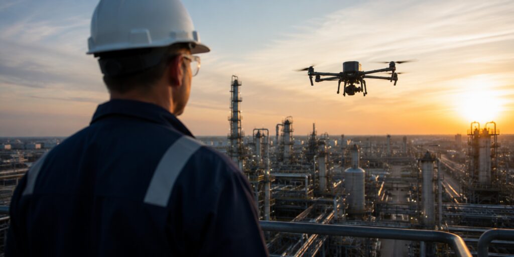
For a long time, the question was: can drones be used for inspections?
Now we’re way past that. Part 107 helped drive this transformation, opening a new era for commercial drone programs. In the last decade, drones have evolved from flying cameras into advanced NDT tools—and Part 107 made that possible.
Ten years ago, doing a drone inspection meant flying near an asset and getting whatever visual data you could.
At the time, we were using drones like the DJI Phantom 4 Pro—cutting edge at the time, but not made for inspections.
Things started to change in 2016 when the FAA introduced Part 107, creating a practical framework for commercial drone operations.
From that foundation, many more drone pilots were certified and started finding work doing inspections. And, over time, drone companies started making specialized drones specifically for inspections.
Today, inspection drones have evolved from simple flying cameras into specialized data-collection platforms. They can enter confined spaces, build 3D maps with SLAM, and capture a huge range of NDT data—things that would have seemed like science fiction a decade ago, when the Part 107 rules first came out.
Part 107 Launched a New Era for Industrial Inspections
Before Part 107, flying drones for work was really hard.
Not only did you have to obtain a Section 333 exemption from the FAA—you also needed to have a manned pilot’s license.
Part 107 streamlined this process by creating a remote pilot certificate and a standardized knowledge test. It also established clear operating rules covering areas like altitude, visual line of sight, daylight operations, and flights over people.
“Part 107 was a major turning point for industrial drone inspection. It helped transform drones from a specialized technology into practical, everyday inspection tools.”
—Cody Menchaca, Director of UAS Sales and Operations at MFE Inspection Solutions
Finally, with Part 107, companies had a clear and repeatable path for putting qualified drone pilots in the field.
With this clarity, companies in heavy industries like oil and gas, utilities, and power generation could start building their own drone programs. And service providers who worked with these companies could do the same, building out robust divisions focused on remote data collection by drone.
For these new drone programs, industrial inspection became one of the clearest applications.
With a drone, teams can collect data remotely, looking closer at assets that are elevated, hard to reach, or unsafe to approach without additional planning and equipment—and reducing the exposure to hazards that inspectors face when they collect data in person.
From Flying Cameras to Advanced NDT Platforms
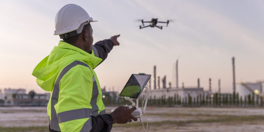
Ten years ago, many inspection programs relied on general-purpose camera drones like the DJI Mavic Pro or Phantom 4.
These consumer drones provided a great proof of concept. You could use them to fly around a roof, tower, or bridge to screen the asset, document visible conditions, and identify areas that warranted a closer look.
But they were limited, and drone companies saw the potential for making drones just for inspections.
In 2016, DJI introduced the Zenmuse Z3 as its first integrated aerial zoom camera, a great tool for tower inspections because it lets you examine details while maintaining distance from the asset.
But there was still a long way to go for drones to become the high-quality inspection tools they are today.
“Part 107 laid the foundation for the autonomous, sensor-driven, and AI-powered inspection solutions we see today. It gave industrial companies a practical way to build drone programs, and the technology advanced alongside those programs.”
—Jason Acerbi, CTO of MFE Inspection Solutions
From Visual Inspections to a Full Array of NDT Data
Today’s inspection drones do far more than take pictures.
In a decade, industrial drones progressed from helping inspectors see difficult-to-access assets to collecting thermal, spatial, gas-imaging, and quantitative NDT data—and doing so through increasingly repeatable and remotely managed workflows.
1. Visual, Thermal, and 3D Data
The Skydio X10 and DJI Matrice series combine high-resolution visual cameras, zoom, thermal imaging, mapping, and intelligent navigation. For confined spaces, Flyability has evolved from the collision-tolerant original Elios to the Elios 3, which uses LiDAR and SLAM to organize inspection observations within a 3D representation of the asset.2. Contact-Based NDT Measurements
The Voliro T can maintain stable contact with vertical, horizontal, and angled surfaces while carrying interchangeable NDT payloads, letting it collect UT and EMAT data. The Elios 3 can also collect ultrasonic thickness measurements inside confined spaces. Drone-based UT represents a major technical achievement, because the probe must contact the surface and use a couplant to transmit sound into the material. Both the Voliro T and Elios 3 can remotely position the probe and apply the required couplant to collect UT data.3. Aerial Optical Gas Imaging
The MFE Detect LW turns compatible DJI Matrice drones into aerial optical gas imaging platforms. Inspection teams can use the camera to visualize methane emissions in real time, then review the footage with AI-powered gas-inspection software.4. Recurring and Remotely Managed Inspections
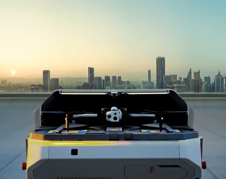
The Skydio X10 paired with the Skydio Dock—both of which are now Blue UAS-Cleared—creates a continuous monitoring solution. Operators can schedule missions or launch them on demand, while the aircraft returns to the dock for charging and uploads data for remote review. DJI offers similar dock-based operations with its Dock and select Matrice models. These configurations move drone programs beyond individual field deployments toward recurring inspection and monitoring at frequently visited assets.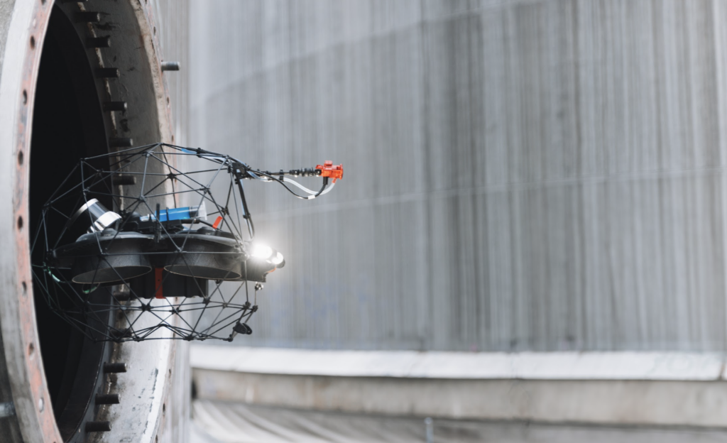
The Next Decade: Codifying Robotic NDT
Ten years ago, teams were asking: can we use a drone to see this asset?
Now the question is: what NDT data do we need, and which robotic solution can best collect it?
Part 107 helped make that revolution possible.
The technology has proven itself, and leading operators have built sophisticated robotics programs around it. But many of the practices guiding those programs remain internal to individual companies.
The next step is codification. Organizations like API, ASME, and ASNT now have the opportunity to turn proven operator experience into codes, standards, system approvals, and certification frameworks that the wider industry can follow.
This work must address personnel as well as technology. A Part 107 certificate establishes aviation competency, not NDT competency.
Mature drone inspection programs need both flight and sensor-operation skills and NDT and code competency. Those skills may exist in one person or across a coordinated team.
Today, the question is no longer whether drones belong in NDT. It’s how to move robotic methods from company-specific programs into accepted industry practice.
 English
  English (Canada)
  Français du Canada