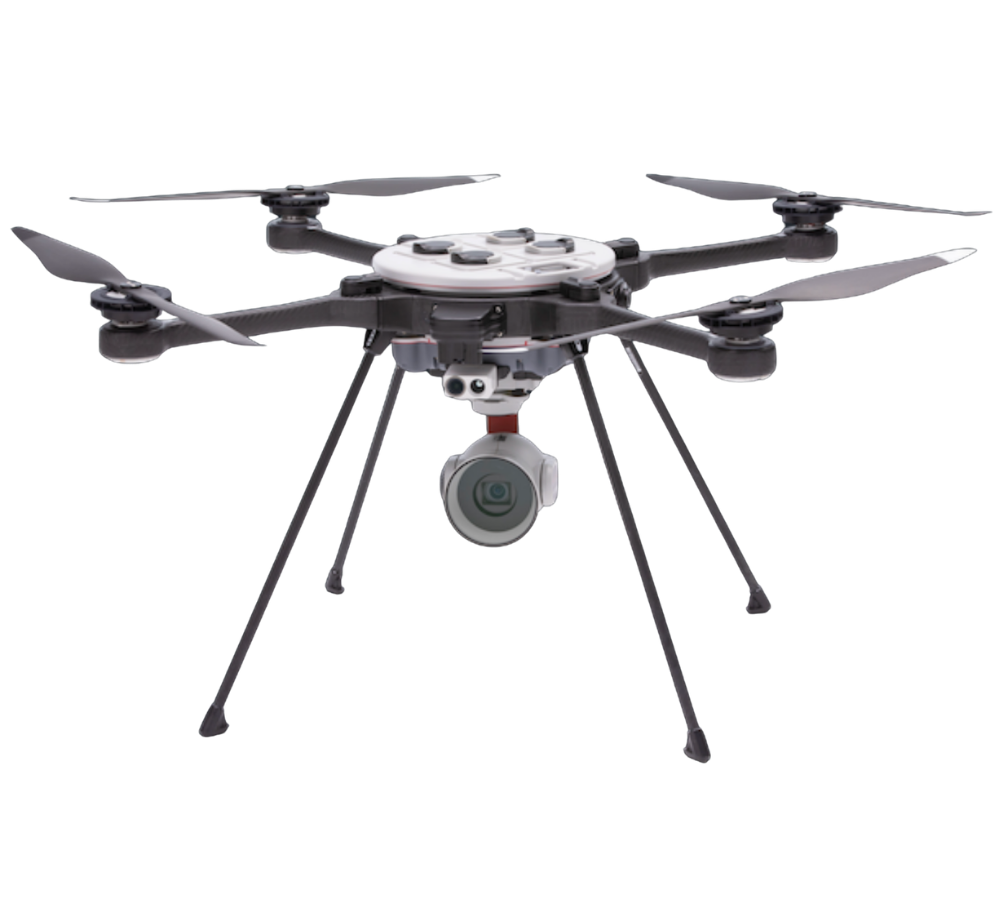
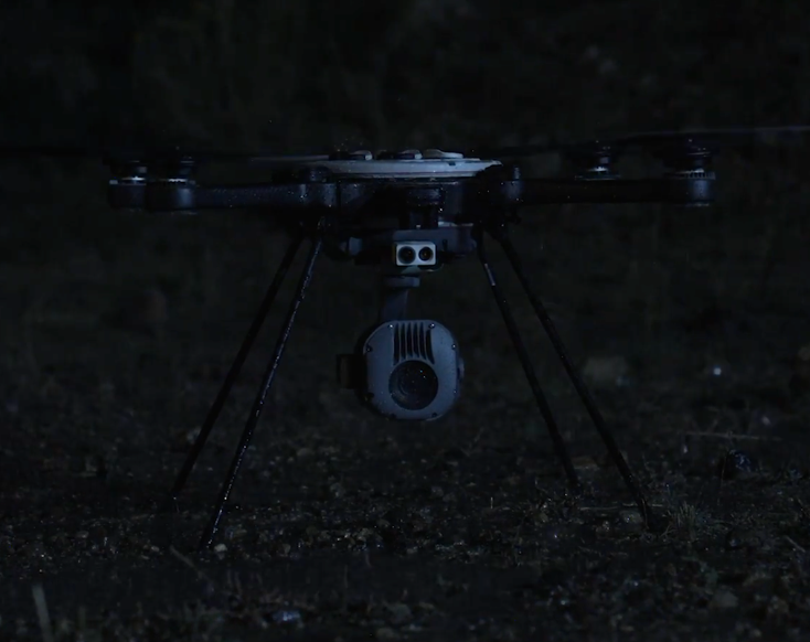
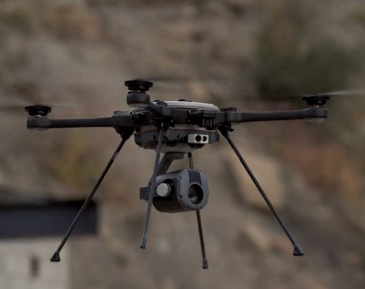
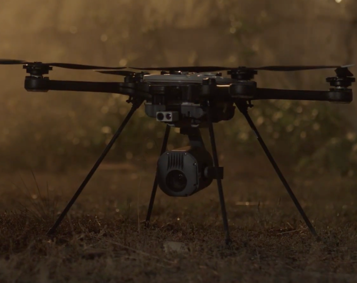
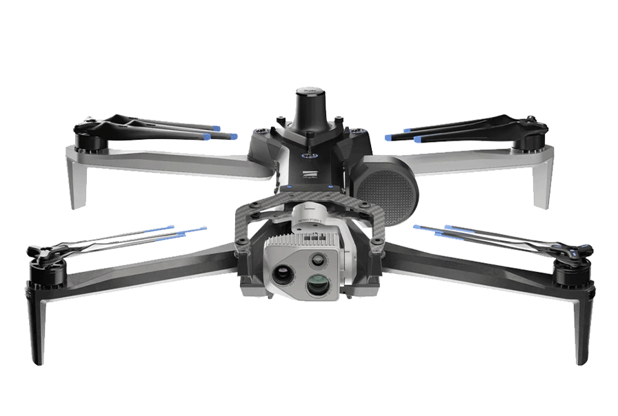
The Teledyne FLIR SkyRanger R70 is a compact professional drone designed for aerial inspection, monitoring, and data collection in demanding operating environments.
Its configurable visual and thermal payloads allow inspection teams to select the imaging capabilities that fit their needs. And its onboard processing, semi-autonomous flight capabilities, and a field-ready airframe support operations across a range of inspection environments, including industrial facilities, energy infrastructure, and utility networks.
Equipment Type: UAS Aerial Inspection and Monitoring
Collect Inspection Data Across Large, Remote, and Difficult-to-Access Sites
Industrial inspection programs often require teams to document assets spread across large sites, elevated structures, or remote infrastructure—and aerial inspections can help personnel collect visual and thermal data remotely.
The SkyRanger R70 combines configurable imaging payloads with onboard processing and semi-autonomous flight capabilities, letting inspection teams collect visual and thermal data, maintain awareness of surrounding conditions, and document assets across a range of outdoor industrial environments.
Configure Daylight and Thermal Imaging for the Inspection
The SkyRanger R70 supports hot-swappable payloads that allow teams to configure the drone for different visual and thermal inspection requirements.
Its HDZoom 30 captures 20-megapixel still images and recorded 1080p60 video, with 30× optical zoom and 60× digital zoom.
Its EO/IR Mk-II combines daylight and thermal imaging in one payload.
Support Data Collection When GPS or Communications Are Limited
Outdoor inspection environments don’t always provide consistent positioning or communications conditions.
The SkyRanger 70 is made for these tough environments. With four dedicated computer-vision cameras and two independent navigation subsystems, it can fly even where GPS isn’t available.
Process Visual Information Onboard
The SkyRanger 70’s multiple embedded NVIDIA TX2 processors provide onboard computing for real-time object detection and classification. The drone also embeds STANAG 4609 KLV metadata in its video, allowing recorded imagery to retain supporting information for compatible data and review workflows.
For inspection teams, onboard processing can supplement the imagery collected during a flight and support awareness of objects or conditions within the aircraft’s view.
Pair the SkyRanger R70 with SkyCarrier
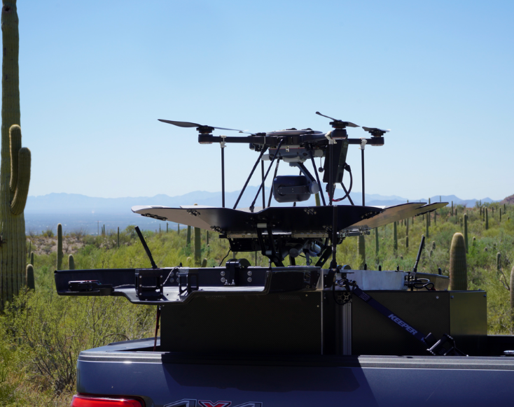
The Teledyne FLIR SkyCarrier is an autonomous drone storage, launch, and recovery system made for the SkyRanger R70 and R80D SkyRaider.
SkyCarrier can be installed at a fixed location or integrated with a land vehicle or maritime vessel. Together, the R70 and SkyCarrier can support recurring aerial data collection and monitoring across remote assets, defined inspection routes, large industrial sites, and maritime environments.
Built for Demanding Outdoor Environments
The SkyRanger R70 is built for inspections in demanding outdoor conditions, including deployment across harsh industrial, utility, infrastructure, maritime, and remote outdoor environments.
Rugged airframe: Carbon-fiber and magnesium construction
Environmental testing: Tested to IP54 and MIL-STD-810G environmental tolerances, including salt mist and rain
Operating temperature: -30°C to 50°C (-22°F to 122°F)
Wind resistance: Sustained winds up to 65 km/h (40 mph) and gusts up to 90 km/h (56 mph)
Operating altitude: Up to 15,000 feet above mean sea level
SkyRanger R70 Technical Specifications
Total length
80 cm (31.5 in), measured from motor mount to motor mount
Aircraft weight
4.5 kg (9.9 lb), including the airframe, arms, legs, and four batteries; no payload
Standard-pack weight
8.5 kg (18.7 lb), including the aircraft, base station, and HDZoom 30
Launch time
3–5 minutes
Payload support
Hot-swappable
Airframe construction
Carbon fiber and magnesium
Typical endurance with standard propulsion
More than 40 minutes
Typical endurance with high-endurance propulsion
50 minutes
Endurance test configuration
Forward EO/IR payload
Maximum ground speed:
50 km/h (31 mph)
Maximum ascent speed
4 m/s (13 ft/s)
Maximum descent speed
3 m/s (9 ft/s)
Operating altitude
Up to 15,000 ft MSL
Daylight imagers
HDZoom 30, EO/IR Mk-II, and Forward EO/IR
Thermal imagers
EO/IR Mk-II and Forward EO/IR
HDZoom 30 still-image resolution
20 MP (5184 × 3888)
HDZoom 30 zoom
30× optical and 60× digital
HDZoom 30 recorded video
1080p60
Onboard processing
Multiple embedded NVIDIA TX2 processors
Computer-vision cameras
Four
Video metadata
Embedded STANAG 4609 KLV metadata
Operating temperature
-30°C to 50°C (-22°F to 122°F)
Sustained wind tolerance
Up to 65 km/h (40 mph)
Gust tolerance
Up to 90 km/h (56 mph)
Environmental testing
IP54 and MIL-STD-810G tolerances
Documented MIL-STD-810G conditions
Salt, mist, and rain
Radio range
Up to 8 km (5 miles) with the standard base station

 English
  English (Canada)
 Français du Canada