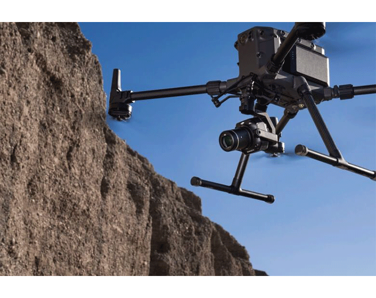
The DJI Zenmuse P1 features a full-frame sensor with interchangeable lenses, delivering high-accuracy photogrammetry for large-scale mapping and surveying missions. It is fully compatible with the DJI Matrice 300 RTK, 350 RTK, and 400 series, making it an ideal payload for enterprise drone operations requiring precision and efficiency.
Equipment Type: Drone Payload
Benefits
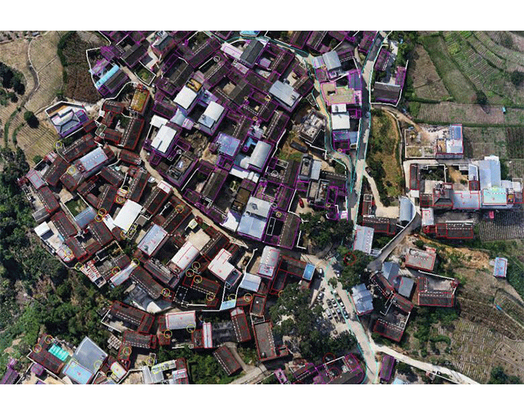
Photogrammetry for topographic mapping
3D modeling for urban planning and surveying
Capturing high-resolution imagery for large-area mapping
Buildings
Infrastructure
Terrain
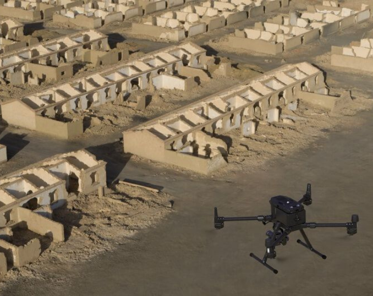
Construction sites
Real estate properties
Heritage preservation sites
Coastal areas
Ecosystems
Landscapes
Mining sites
Property boundaries
Infrastructure
Environmental
Mining
Surveying
Construction
Archaeology
Oil & gas
Public safety
Power & utilities
Buy or Rent
Request a Quote
DJI Zenmuse P1: The New Benchmark for Aerial Surveying
The DJI Zenmuse P1 integrates a full-frame sensor with interchangeable fixed-focus lenses on a 3-axis stabilized gimbal. Designed for photogrammetry flight missions, it takes efficiency and accuracy to a whole new level.
Extraordinary Efficiency
The DJI Zenmuse P1 includes a full-frame, low-noise high-sensitivity sensor that can take a photo every 0.7 s during the flight, and covering 3 km2 [2] in a single flight.
Remarkable Accuracy
Equipped with a global mechanical shutter and the all-new TimeSync 2.0 system—which synchronizes time across modules at the microsecond level—the DJI Zenmuse P1 lets users capture centimeter-accurate data combined with the real-time position and orientation compensation technology.
Robust Versatility
Create 2D, 3D, and detailed models thanks to the integrated 3-axis gimbal that can be outfitted with 24/35/50mm lenses and the Smart Oblique Capture feature.