Skydio X10D | Blue UAS Industrial Inspection Drone
Skydio X10D
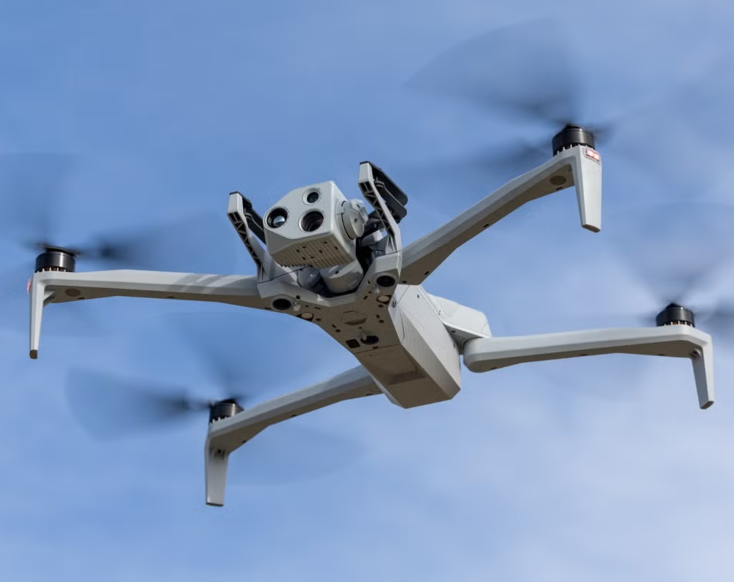
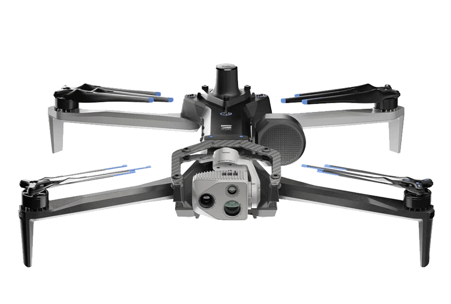
The Skydio X10D is an autonomous industrial inspection drone built to collect high-resolution visual, radiometric thermal, mapping, and modeling data in complex environments.
As a Blue UAS-Cleared and NDAA-compliant platform, the X10D is designed for organizations with demanding cybersecurity, supply-chain, communications, and procurement requirements. Its multiband connectivity and vision-based navigation support operations where GNSS signals or communications may be degraded.
Equipment Type: Industrial Inspection Drone
Benefits of the Skydio X10D
Visual asset inspections
Radiometric thermal inspections
Corrosion documentation
Long-range visual data collection Infrastructure assessments
2D mapping and 3D modeling
Operations in GNSS-degraded environments
Low-light and zero-light inspections with optional NightSense
Infrastructures critiques
Installations industrielles
Large operational sites
Elevated and difficult-to-access assets
Assets requiring visual or thermal inspection
Power and utilities
Oil and gas
Infrastructures critiques
Installations industrielles
Government infrastructure
Acheter ou louer
Demande de devis
Collect Inspection Data in Complex and Connectivity-Challenged Environments
Industrial drone inspections often take place around large structures, difficult terrain, physical obstructions, or infrastructure that can complicate navigation and communications.
The Skydio X10D combines autonomous obstacle avoidance with high-resolution visual and radiometric thermal sensors, helping operators collect inspection data while maintaining awareness of the drone’s surroundings. For organizations working across large sites or under demanding technical and procurement requirements, these capabilities provide a flexible foundation for inspection, documentation, and infrastructure assessment.
Skydio X10D Is Blue UAS Cleared
The Skydio X10D is on the U.S. federal government’s Blue UAS Cleared List. This designation means that the X10D meets rigorous federal cybersecurity, supply-chain, and NDAA compliance requirements, giving government agencies and other security-conscious organizations a vetted industrial inspection drone solution.
For federal, critical infrastructure, and industrial users, the X10D combines Blue UAS-cleared procurement with high-resolution visual and radiometric thermal sensing, AI-powered autonomy, and navigation and connectivity capabilities for GNSS-degraded environments.
Maintain Navigation and Connectivity When GPS Is Unreliable
The X10D’s multiband radio can switch channels when interference or other conditions affect connectivity. Vision-based navigation also helps the aircraft continue operating and return when GPS is unavailable or unreliable.
While the X10 and X10D share many imaging, autonomy, and flight capabilities, the X10D adds specialized communication options, greater resilience in GPS-degraded environments, third-party controller support, and an open architecture for custom integrations. For inspection programs that don’t require these capabilities, the Skydio X10 may be the better fit.
Choose the Right Sensor Package for the Inspection
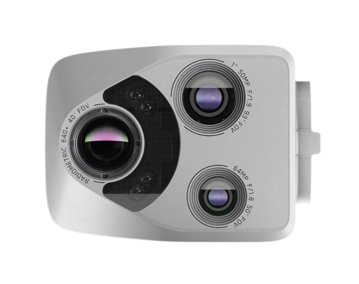
Skydio offers two X10D sensor packages, both of which include a 64 MP narrow camera and a 640 × 512 FLIR Boson+ radiometric thermal camera with sensitivity under 30 mK.
Here are the two options:
VT300-L. Adds a 50.3 MP one-inch wide camera and onboard light for broader close-range coverage and detailed documentation of corrosion, surface conditions, and other visible features.
VT300-Z. Adds a 48 MP telephoto camera with a 190 mm-equivalent focal length for examining assets from a greater distance when closer flight is impractical.
Infrared temperature measurement accuracy is the larger of ±5°C or 5%, and results should be evaluated within the limits of the sensor and inspection method.
Use Onboard AI to Navigate and Capture Inspection Data
Six navigation cameras give the X10D 360-degree awareness and help it avoid obstacles in every direction. AI-powered flight assistance helps you navigate complex structures while focusing on the asset and the data you need to capture.
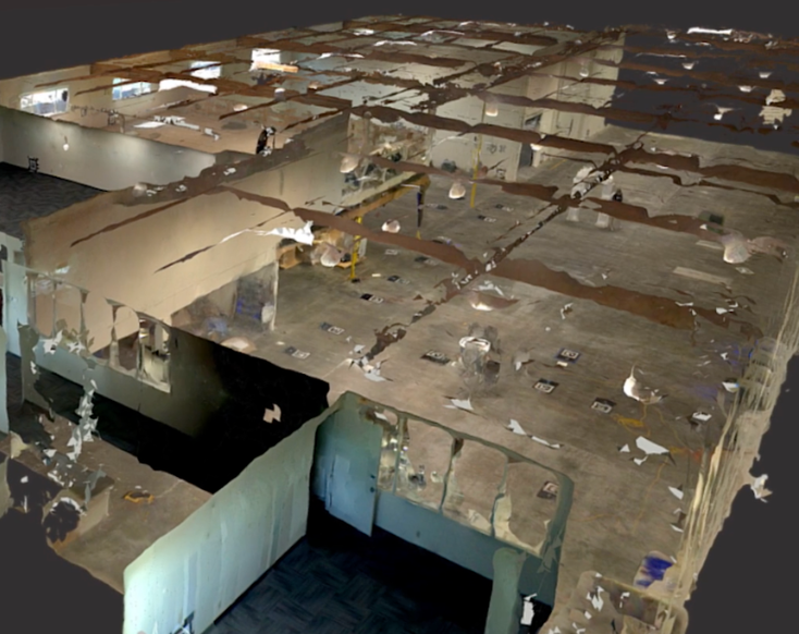
You can also create 2D maps and 3D models onboard to document larger sites, review spatial context, and confirm capture coverage without additional field-processing systems.
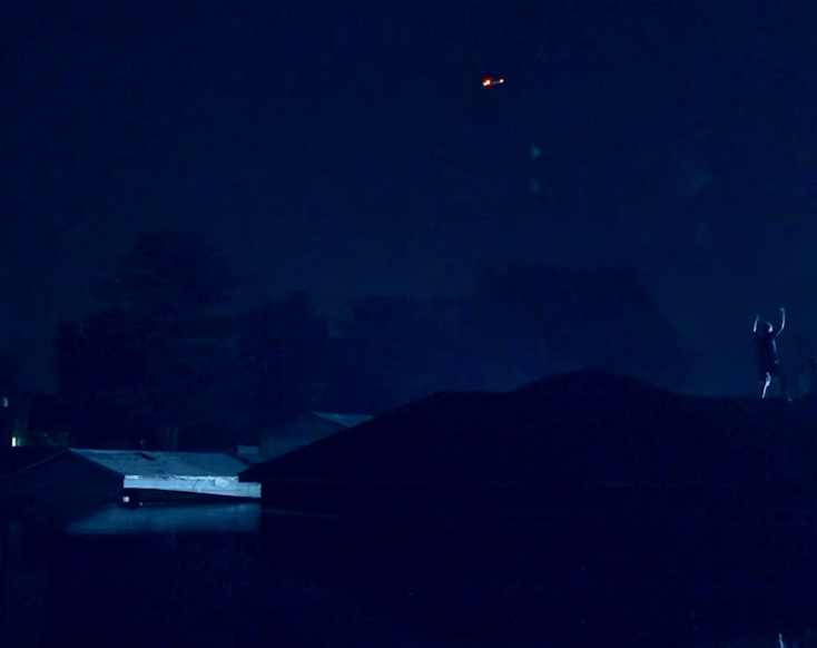
Conduct Autonomous Inspections in Low-Light and Zero-Light Conditions
Optional NightSense attachments extend the X10D’s vision-based navigation into environments where its standard visible-light navigation cameras cannot reliably perceive their surroundings.
NightSense Visible Light illuminates the environment for the navigation cameras, while NightSense IR Light supports autonomous navigation using infrared illumination that is not visible to the unaided eye.
Skydio X10D Technical Specifications
Dimensions, unfolded with propellers
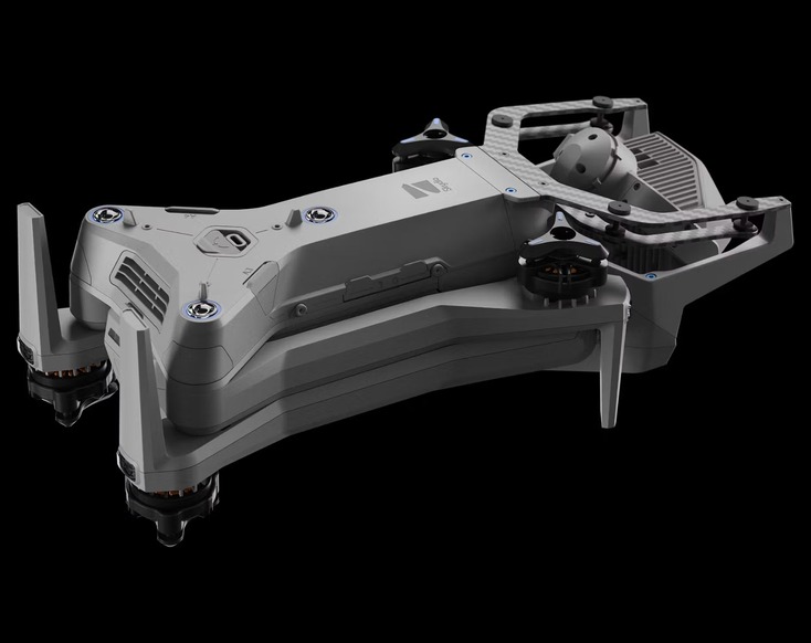
31.1 × 25.6 × 5.7 in. / 79.0 × 65.0 × 14.5 cm
Dimensions, folded without battery
13.8 × 6.5 × 4.7 in. / 35.05 × 16.51 × 11.94 cm
Weight with battery:
4.65 lb. / 2.11 kg with Connect SL; 4.72 lb. / 2.14 kg with Connect MH
Maximum flight time
40 minutes under ideal laboratory conditions
Maximum horizontal speed
45 mph / 20 m/s at sea level; 36 mph / 16 m/s with obstacle avoidance
Environmental limits
IP55; −4°F to 113°F / −20°C to 45°C; gust handling at or below 28 mph / 12.8 m/s
VT300-Z
64 MP narrow camera, 48 MP telephoto camera, and radiometric thermal camera

 English
  English (Canada)
 Français du Canada