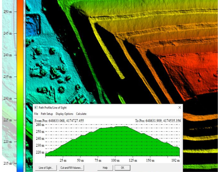
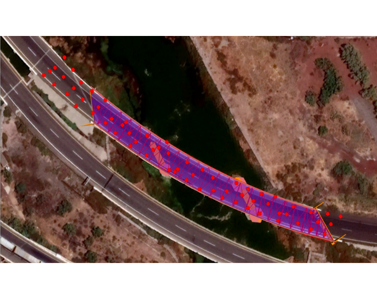
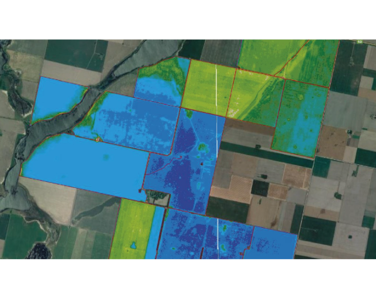
Understanding what’s happening underground is only part of the story. With Inersia, you also gain insight into surface conditions through multispectral satellite analysis.
By measuring vegetation health, surface moisture, and thermal variation using NDVI (Normalized Difference Vegetation Index), NDWI (Normalized Difference Water Index), and other spectral indices, Inersia helps you monitor environmental factors that may signal or contribute to terrain instability.

