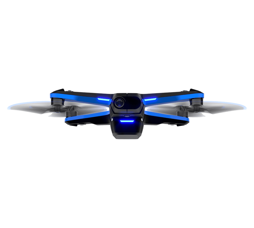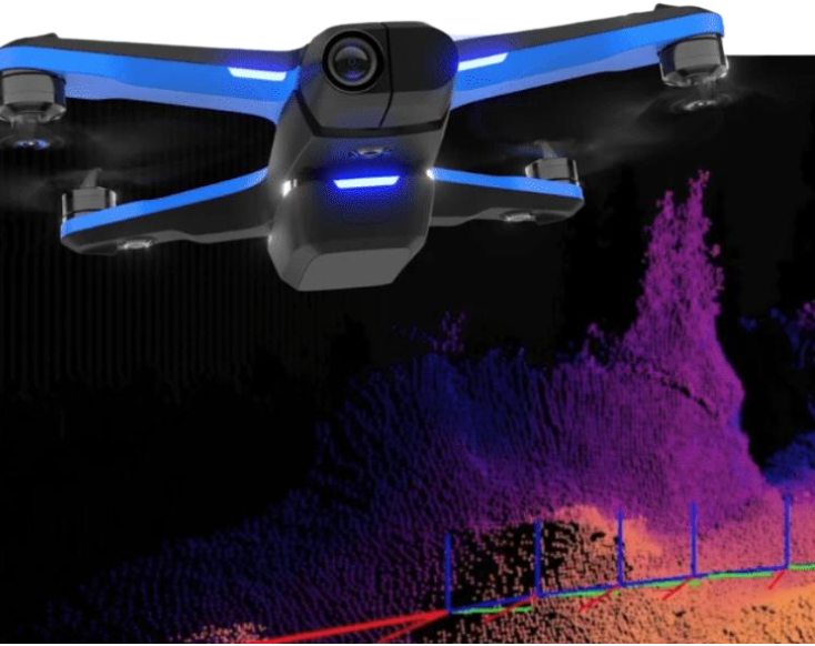
The Skydio S2 offers high-resolution imaging and advanced AI navigation, ensuring precise and efficient aerial inspections for various industrial applications.
Equipment Type: Drone
Request a Quote
The autonomous Skydio S2 drone with AI powered flight autonomy is one of the most intelligent, safe, and simple drones to operate on the market today.
Thanks to real-time 360° obstacle avoidance and motion prediction capabilities, the S2 eliminates the risk of crashes and can transform anyone into an expert pilot.
Equipped with NVIDIA Tegra TX2 with 256 GPU cores, the S2 brings industry-leading compute power to the edge of your infrastructure, automating data collection for situational awareness and inspection.

In addition to the user camera, The Skydio S2 has 45 megapixels of visual sensing equipped with six 4K navigation cameras.
Each of the cameras have a super-fisheye lens with a 200° field-of-view. Three navigation cameras point up, and three point down, enabling the S2 to see in every direction as the autonomous engine guides the drone avoiding obstacles within the flight path.
Automate the entire data capture process needed to document complex structures and generate 3D models with comprehensive coverage and ultra-high resolution.
With this software subscription, you can now build higher quality reports, reconstructions, and inspections faster and more accurately with minimal training than professional drone pilots.
The AEF Software package, helps pilots capture data faster in less time without compromising the safety of the drone or surrounding environment. MFE is excited to bring this autonomous functionality to the inspection community.
Skydio S2 Technical Specifications
| Size (with Battery) | 223 x 273 x 74 mm (l x w x h) |
| Size (without Battery) | 223 x 273 x 43 mm (l x w x h) |
| Size of Included Hard Case | 297 x 255 x 65 mm (l x w x h) (case fits: drone, spare propellers, charging cable, and either 2 batteries or 1 battery and 1 wall adapter.) |
| Weight (With Battery) | 775 g |
| Flight Time | 23 minutes |
| Max Flight Speed (Sea Level, No Wind) | 36 mph (fully autonomous) |
| Max Wind Speed Resistance | 25 mph |
| Max Service Ceiling (Above Sea Level) | 15,000 ft density altitude |
| Max Flight Altitude (From Control Device) | 1,640 ft |
| Operational Temperature Range | -5°C to 40°C |
| Main Processor | NVIDIA Tegra X2 SOC |
| GPU | 256-core NVIDIA Pascal™ GPU |
| CPU | Dual-Core NVIDIA Denver 2 64-bit CPU, Quad-Core ARM®-A57 MPCore |
| RAM | 4GB 128-bit LPDDR4 |
| Onboard AI | 9 custom deep networks used in flight |
| Object Tracking & Identification | Tracks up to 10 simultaneous objects of interest |
| User-Selected Subjects for Tracking | People and motor vehicles |
| Obstacle Avoidance Coverage | Omnidirectional and above/below Super fisheye lenses for 360° view |
| 3D World Model Update Rate | > 1 million points per second |
| World Model-To-Action Update Rate | 500 iterations per second |
| Calibration | Automated online calibration of lens parameters, camera rotations, wind speed, and air density |
| Cinematic Skills | Motion Track (relative to subject motion) Fixed Track (relative to absolute orientation) One Shots (dronie, rocket, boomerang, and vortex) Cable cam (single pass, looping, or track) |
| Configuration | 6x cameras in trinocular configuration top and bottom |
| Sensor Type | Sony 1/3” 4K color CMOS |
| Lens Aperature | f/1.8 |
| Field-of-View | 200° |
| Environment Coverage | True 360° |
| Framerate | 30 FPS |
| Sensor Type | Sony IMX577 1/2.3” 12.3MP CMOS |
| Sensor Active Pixels | 4056 (H) x 3040 (V) |
| Lens Aperture | f/2.8 |
| Lens Focal Length | 20mm (35mm format equivalent) |
| Lens Depth Of Field | 1m - ∞ |
| Shutter Speed | electronic shutter 1 to 1/1920s |
| ISO Range | video 100-3200 photo 100-3200 |
| Exposure Control | -2.0, -1.5, -1.0, -0.5, 0, 0.5, 1.0, 1.5, 2.0 |
| Dynamic Range | 13 stops |
| Image Signal Processor | Qualcomm QCS605 |
| GPU | Adreno™ 615 |
| CPU | 64-bit octa-core Kryo™ 300 |
| DSP | Hexagon™ 685, 2x HVX |
| Resolution & Modes | 3840x2160 30 fps 3840x2160 60 fps 3840x2160 48 fps 3840x2160 24 fps 1920x1080 120 fps 1920x1080 60 fps 1920x1080 30 fps |
| Bitrate | 100 Mbps |
| Video Format | MPEG-4 (AVC/H.264, HEVC/H.265) |
| Still Resolution | 4056x3040 (12 MP) |
| Still Format | JPEG, DNG (RAW) |
| Still Modes | Single, Interval |
| Storage | Removable Micro SD Card UHS Speed Class 3 / V30 |
| Stabilization Mechanical Range | pitch ±124°, roll ±120°, yaw ±12.5° |
| Pitch Controllable Range | -110° to +45° |
| Range to Phone | 200 m |
| Range to Beacon | 1.5 km |
| Range to Controller | 3.5 km |
| Operating Frequencies | 2.4-2.483 GHz 5.18-5.24 GHz 5.725-5.85 GHz |
| Channel Width (Standard WiFi) | 20, 40, and 80 MHz |
| Channel Width (Skydio Link) | 5 and 10 MHz |
| GPS Satellite Constellations | GPS and GLONASS |