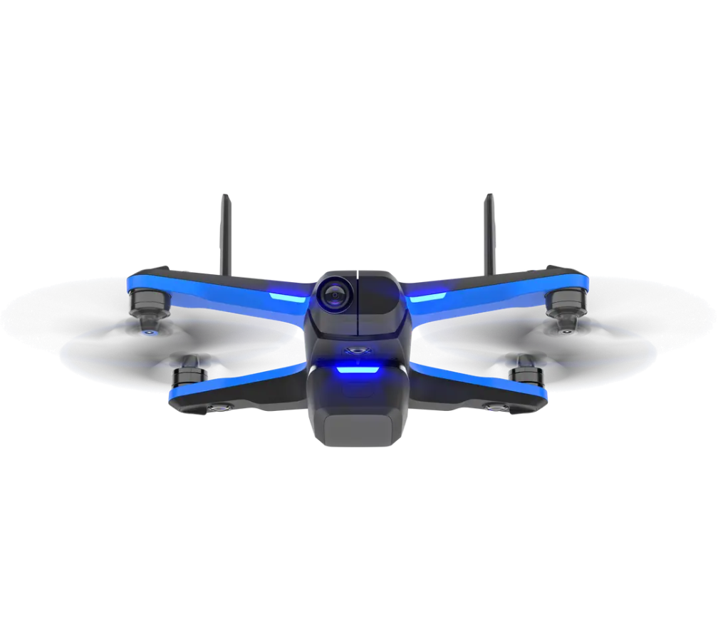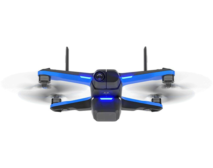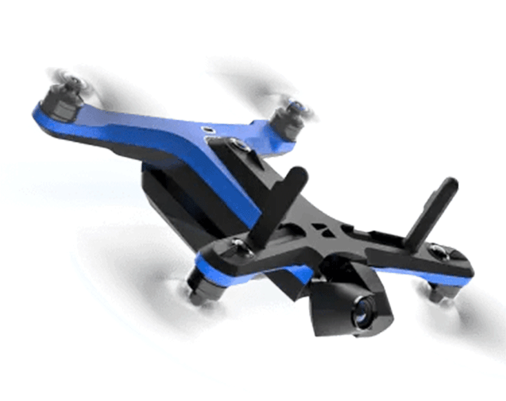
The Skydio 2+ is a versatile drone with enhanced AI navigation and 4K video capture, ideal for professional-grade aerial inspections and mapping.
Equipment Type: Drone
Request a Quote

The Skydio 2+ is the industry’s leading autonomous drone solution powered by artificial intelligence to enable efficient and safe flight missions.
Skydio 2+ sees in all directions with six 4k 200° navigation cameras, understands the world around itself with built-in AI, and makes smart decisions to fly autonomously while avoiding obstacles, even in non-GPS accessible environments. As a result, Skydio 2+ turns everyone into an expert pilot and helps you do your job safer and faster.

The Skydio 2+ fixed camera gimbal supports 20 MM focal length, F2.8 aperture, and 13.5 stops of dynamic range. Manual photo controls allow you to change exposure and interval values.
With 45 megapixels of visual data from six 200-degree color cameras, The Skydio 2+ can see in all directions with unprecedented resolution and clarity. This is the basis for reliable autonomous flight.
At the heart of Skydio 2+ is the NVIDIA Tegra TX2, the fastest and most power-efficient embedded AI computing device on the market, capable of 1.3 trillion operations per second. The Skydio 2+ is an advanced flying supercomputer.

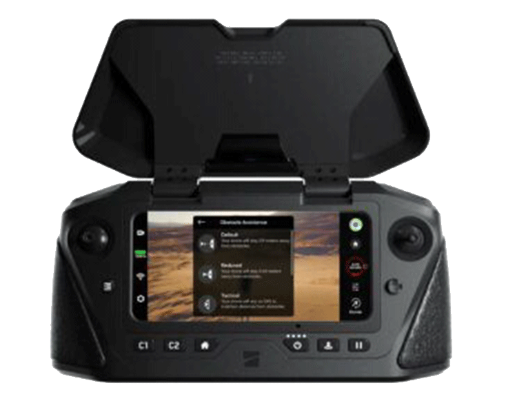
The industry’s best controller for enterprise drone operations. The controller not only increases the range of the drone but is equipped with military-grade components, an ergonomic design, and an ultra-bright 6.8-inch touchscreen. The Skydio Enterprise Controller is a must when operating the Skydio 2+ and X2.
Automate the entire data collection process required to document complex structures and generate 3D models with extensive coverage and ultra-high resolution. With this software subscription, you can now produce higher quality reports, reconstructions and inspections faster and more accurately than professional drone pilots, with minimal training.
Skydio Cloud seamlessly integrates your Skydio 2+ drone with a suite of advanced cloud services enabling a new paradigm of connected autonomous flight operations designed to ensure data collected during flight flows smoothly and can be used in real-time across your organization.
The AEF software suite helps pilots acquire data faster and in less time without compromising the safety of the drone or the environment. MFE is pleased to make this autonomous functionality available to the inspection community.
Skydio Care Enterprise adds an extra layer of protection to the Skydio 2+ Enterprise hardware warranty, protecting your drone from collision or water damage and giving you extra peace of mind for your professional operations. In addition, Skydio Care Enterprise includes up to 3 replacements, including 1 for unrecoverable landing and two business days’ replacement.
Technical Specifications
| Weight (with battery) | 800 Grams |
| Flight Time | 27 Minutes |
| Max Flight Speed | 36 mph (fully autonomous) |
| Max Wind Speed Resistance | 25 mph |
| Max Service Ceiling (Above Sea Level) | 15,000 ft density altitude |
| Max Flight Altitude (From Control Device) | 1,640 ft |
| Main Processor | NVIDIA Tegra X2 SOC |
| GPU | 256-core NVIDIA Pascal GPU |
| CPU | Dual-core NVIDIA Denver 2 64-bit CPU Quad-Core ARM-A57 MPCore |
| RAM | 4GB 128-bit LPDDR4 |
| Onboard AI | 9 custom deep networks used in flight |
| User-Selectable Subjects for Tracking | People and motor vehicles |
| Object Tracking & Identification | up to 10 simultaneous objects of interest |
| Obstacle Avoidance Coverage | Omnidirectional and above/below Super fisheye lenses for 360° view |
| 3d World Model Update Rate | >1 million points per second |
| World Model-to-Action Update Rate | 500 iterations per second |
| User-Selectable Subjects for Tracking | People and motor vehicles |
| Calibration | Automated online calibration of lens parameters, camera rotations, wind speed, and air density |
| Cinematic Skills | Motion Track (relative to subject motion) Fixed Track (relative to absolute orientation) One Shots (dronie, rocket, boomerang, and vortex) Cable cam (single pass, looping, or track) |
| Configuration | 6x cameras in trinocular configuration, top and bottom |
| Sensor Type | Sony 1/3" 4k color CMOS |
| Lens Aperture | f/1.8 |
| Field-of-View | 200° |
| Environment Coverage | 360° |
| Sensor Type | Sony IMX577 1/2.3" 12.3MP CMOS |
| Sensor Active Pixels | 4056 (H) X 3040 (V) |
| Lens Aperture | f/2.8 |
| Lens Focal Length | 20mm (35mm format equivalent) |
| Lends Depth of Field | 1m - ∞ |
| Shutter Speed | electronic shutter 1 - 1/1920s |
| Exposure Control | -2.0, -1.5, -1.0, 0, 0.5, 1.0, 1.5, 2.0 |
| ISO Range | video 100-3200 photo 100-3200 |
| Dynamic Range | 13 stops |
| Image Signal Processor | Qualcomm QCS605 |
| CPU | 64-bit octa-core Kyro 300 |
| GPU | Adreno 615 |
| DSP | Hexagon 685, 2x HVX |
| Resolutions & Modes | |
| Bitrate | 100 Mbps |
| Video Format | MPEG-4 (AVC/H.264, HEVC/H.265) |
| Still Resolution | 4056 x 3040 (12MP) |
| Still Formats | JPEG, DNG (RAW) |
| Still Modes | Single, Interval |
| Stabilization Mechanical Range | pitch ±124°, roll ±120°, yaw ±12.5° |
| Pitch Controllable Range | -90° to 45° |
| Storage | Removable micro SD card UHS Speed class 3 / V30 |

© MFE Inspection Solutions Inc. 2024